The 1648 Blaeu Map of Wiltshire
The 1648 Blaeu Map of Wiltshire
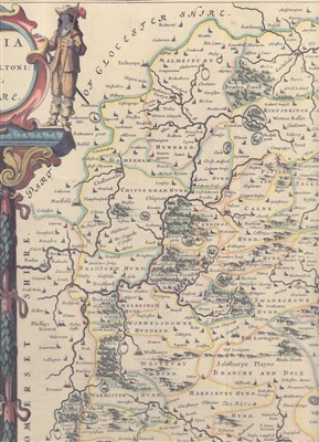
The 1648 map of Wiltshire was printed by the Dutch cartographer Blaeu in Amsterdam. The detail appears to be essentially a copy of Saxton's 1576 map, but it is much more beautifully engraved. It shows towns, villages, Hundreds, enclosed parks, hills, woods, rivers and bridges.
Around the outside of the map are several cartouches with detailed drawings of surveyors. 'Stone Henge' can be seen in the bottom right of the following section.
Is there any particular story from Sutton Benger’s past that you want to know more about? Please get in touch:
By phone: 01249 721731
By email: hello@bengertrails.co.uk
Media Archive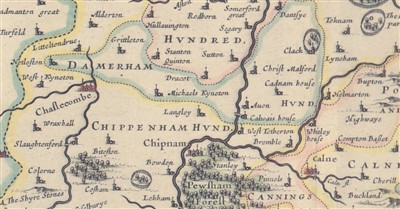
1648 Blaeu Map
1648 Blaeu Map portrait